Centuries before GPS and satellite imagery, maps were more than tools for navigation. They were reflections of human curiosity and imagination. Early cartographers often worked from secondhand stories, traders’ accounts, and sailors’ memories. However, some of these maps reveal something remarkable: traces of lands west of Greenland that existed long before Columbus. Could these early depictions hint at Norse journeys deeper into North America? The evidence, though subtle, tells an intriguing story.
Some of the oldest known maps from medieval Europe include surprising details that seem to describe parts of North America. For example, the Vinland Map, although its authenticity remains debated, outlines a landmass west of Greenland labeled “Vinland.” Even if disputed, its very existence shows that medieval scholars had heard of lands across the Atlantic. Other maps, such as the Skálholt Map from Iceland, drawn in the 16th century, record names like “Markland” and “Helluland,” which correspond closely to descriptions in the Norse sagas.
These names, “land of forests” and “land of flat stones”, are not random inventions. They match real geological and environmental features found in parts of Canada and along the Atlantic coast. Such alignments suggest that the mapmakers were not guessing; they were working from older sources, likely derived from Norse exploration records.
Old maps often contain marginal notes or sketches that add further intrigue. Some feature drawings of ships, people, or coastlines that appear distinctly northern in style. Others mention trade routes or references to “western lands” known to explorers. Though not detailed, these clues suggest a level of awareness about lands beyond Europe’s horizon.
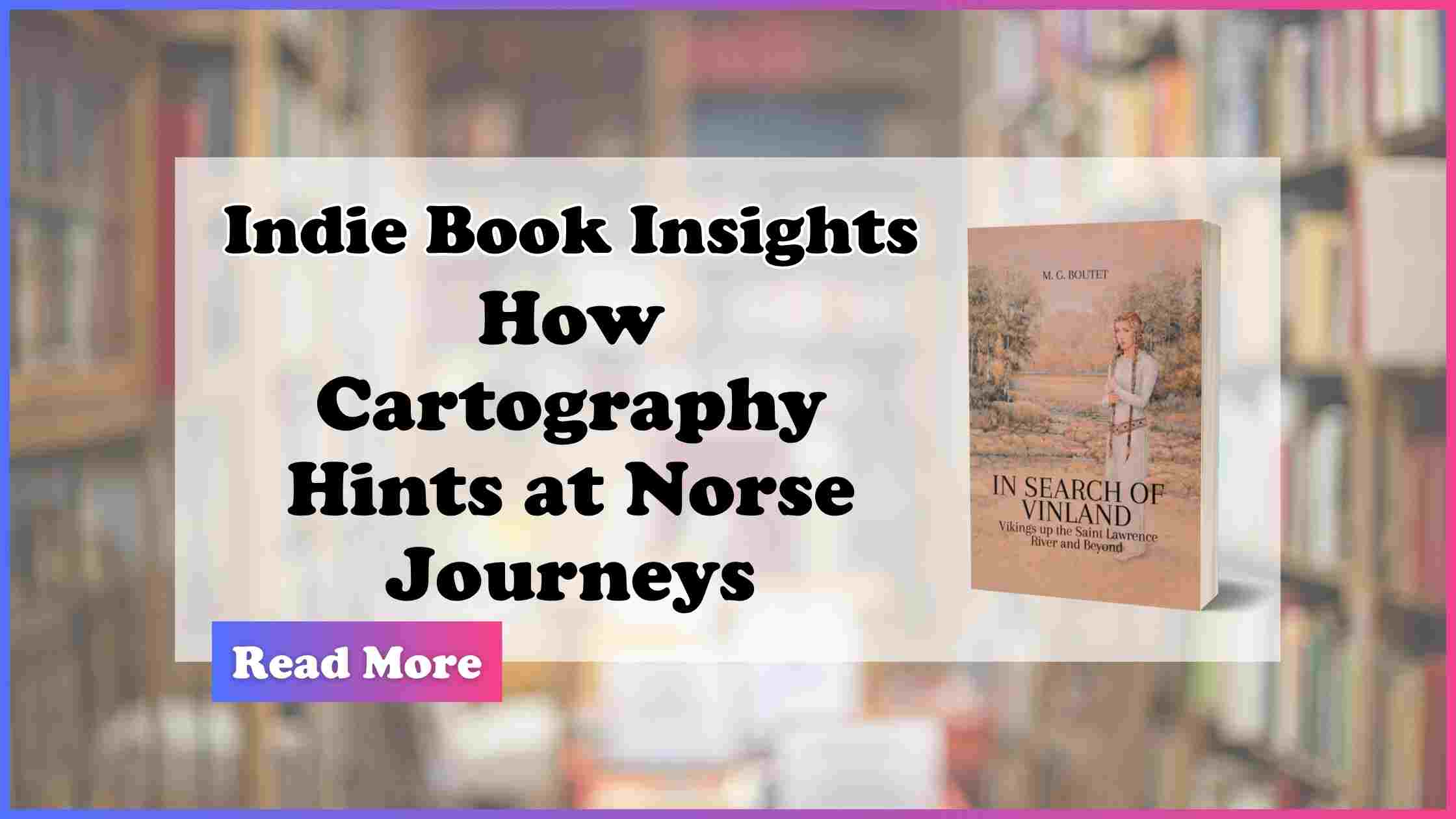
M. G. Boutet, in In Search of Vinland: Vikings up the Saint Lawrence River and Beyond, highlights how these cartographic fragments support the idea that Norse explorers may have traveled much farther than commonly believed. By combining maps, oral histories, and archaeological evidence, Boutet demonstrates how early cartography can reveal more than just simple geography. It can preserve the memory of forgotten journeys.
Cartography is as much about what is shown as what is implied. The gaps, the blank spaces, and the incomplete coastlines all tell a story of discovery still in progress. The Vikings were skilled navigators who used landmarks, the sun, and stars to guide them across seas and rivers. Their detailed awareness of coastlines and waterways in Europe and Greenland makes it plausible that they would have mapped or described new territories in similar ways, even if those records were later lost or simplified in translation.
Studying these old maps reminds us that history is rarely clear-cut. A faint line or a forgotten label can challenge long-held assumptions about where the Vikings went and what they knew. They also remind us that exploration did not happen in isolation. It was shared, passed along, and preserved through generations of cartographers and storytellers.
In Search of Vinland invites readers to explore these clues in full context. Through careful research and accessible storytelling, Boutet encourages us to look closer at the maps that shaped our view of the world, and to consider how much of the Viking story may still be hidden in their lines and margins.
Explore In Search of Vinland: Vikings up the Saint Lawrence River and Beyond by M. G. Boutet now on Amazon: https://www.amazon.com/dp/B0FR9LSJZL.